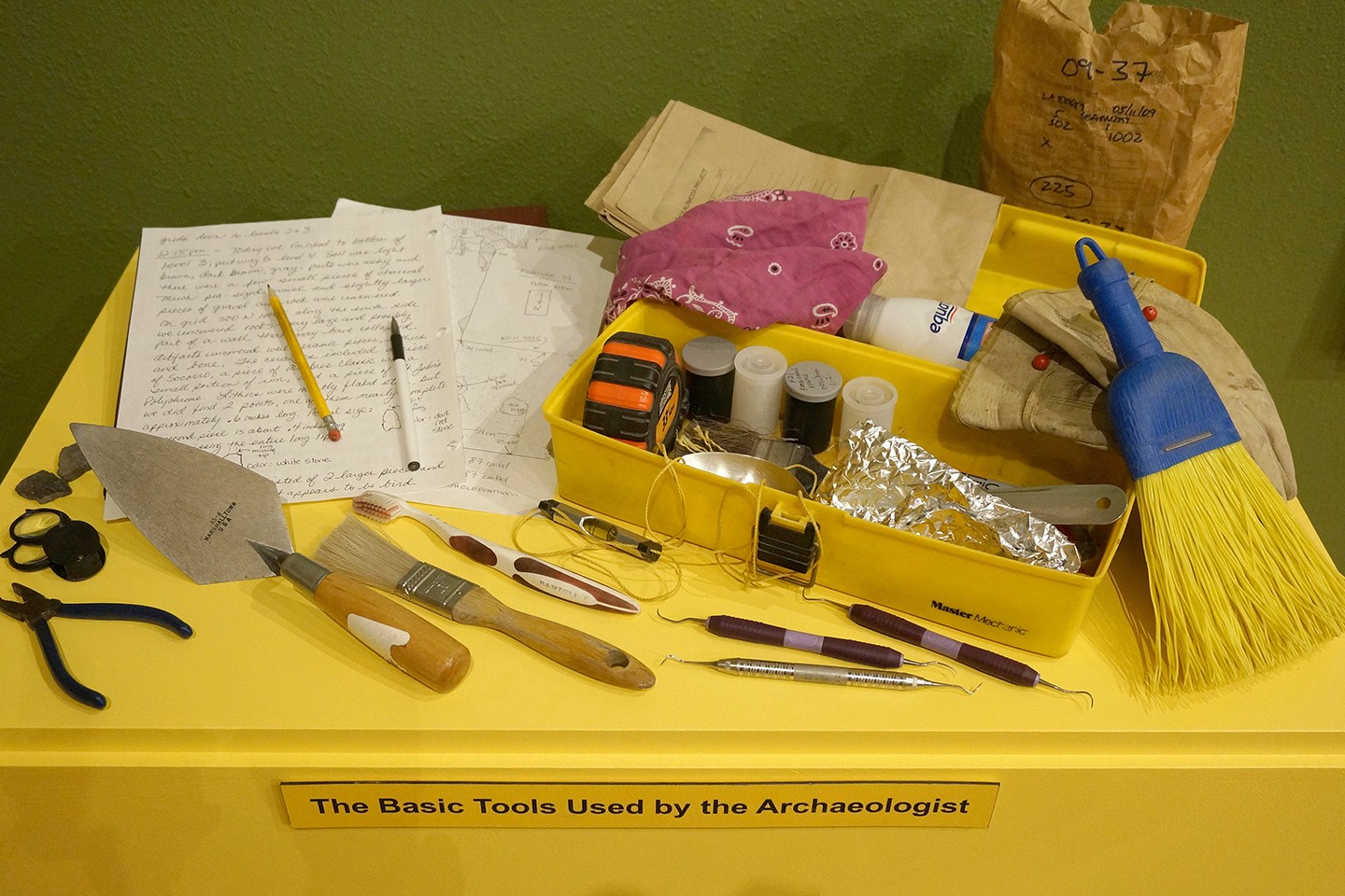
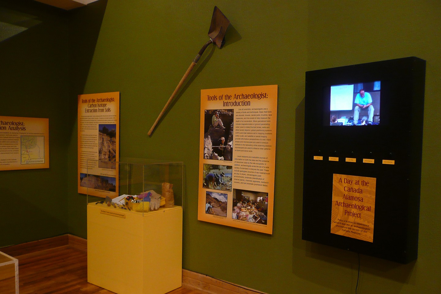
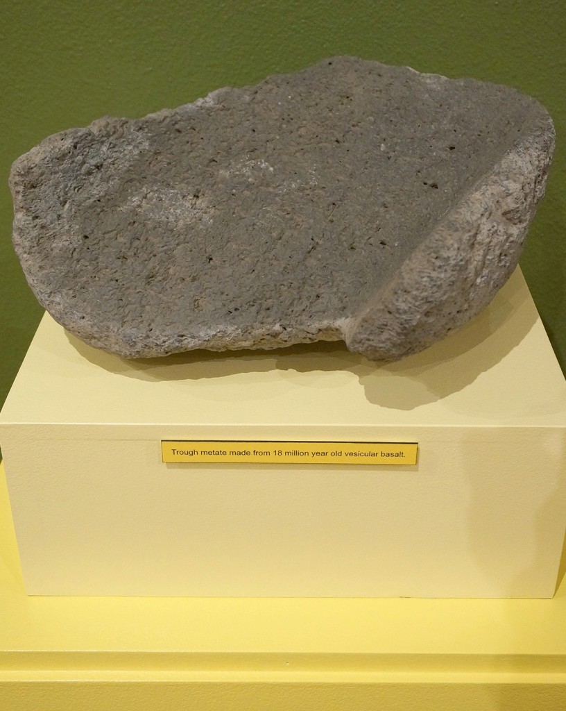
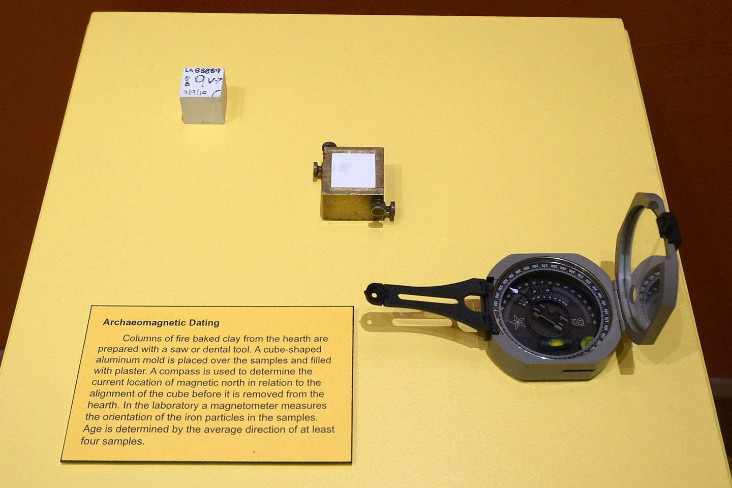
Like all scientists, archaeologists use a variety of tools and techniques. Basic field tools are shovels, trowels, dental picks, brushes, tape measures, and line levels to help measure the depth of an excavation. More specialized tools include magnetometers or ground penetrating radar (used to detect burned areas, walls and other buried objects), global positioning systems (GPS) and total stations aid in mapping locations within a site, and satellite or aerial imaging provide informative perspectives of a site. Hand lenses and microscopes are used to analyze artifacts in the laboratory while scanning electron microscopes are used to observe wear patterns on bone and stone tools.
Local residents are invaluable sources of information on both the sites and the presence of resources used by the site occupants. In addition, archaeologists enlist the aid of a wide variety of scientists to interpret the past. These include geologists (sources of raw material such as clay or stone), climatologists (past environments), botanists (identification of charred plants), chemists (pigments, residue in vessels), and soil scientists (prehistoric fields).
Measuring and recording.
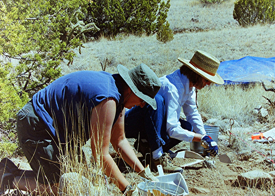
Excavating with trowels.
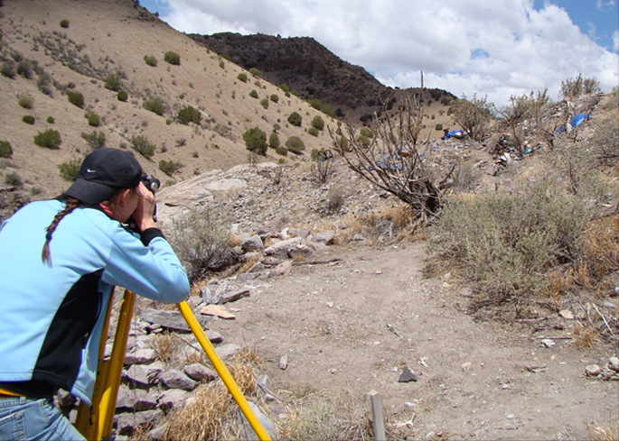
Using a transit to record the exact location of Feature 6 at the Pinnacle Ruin.
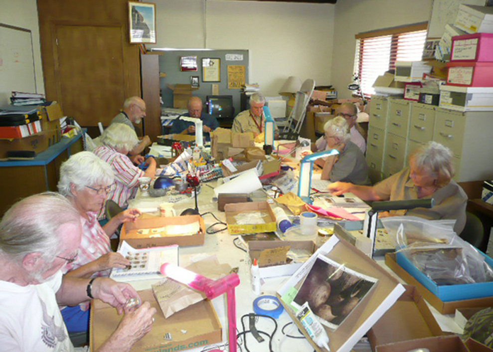
Laboratory volunteers analyze ceramics at the Human System Research office in Las Cruces.