A geological map of the area surrounding the four archaeological sites was created after an exhaustive survey. This detailed map of the geological landmarks and outcrops includes information on clay and lithic (stone) resources that were utilized by the prehistoric population.
The mapping confirmed that the western side of the canyon, Sierra Cuchillo, was formed by latite volcanic lavas that erupted prior to 35.7 million years ago and that to the east, Vicks Peak (San Mateo Mountains) is a rhyolite caldera that erupted 28.4 million years ago. Volcanic rocks from Vicks Peak and the San Mateo Mountains eroded westward into the Monticello graben (trench) and were blocked by the older latite uplift forming the Sierra Cuchillo. Over the last 18 million years the Rio Alamosa has cut its way through the volcanic sediments, leaving a series of younger stream terraces and forming the deep canyon we see today.
The pueblo sites were built on the youngest two stream terraces. The geological survey was particularly valuable as Neutron Activation Analysis (NAA) of the local clay varieties has allowed the archaeologist to clearly identify which ceramics were produced locally and which were imported. Geologic survey has also identified sources for vesicular basalt used to produce many of the ground stone artifacts.
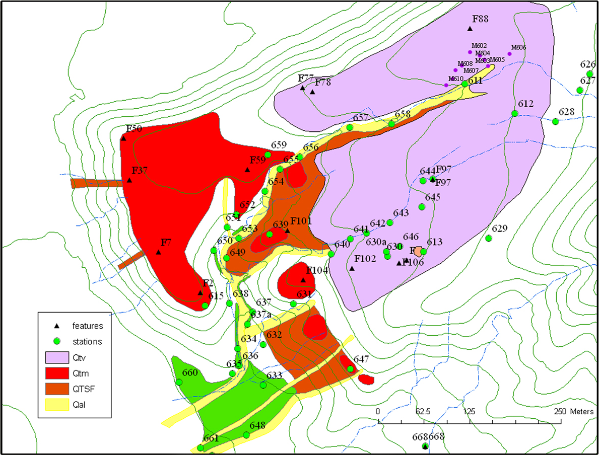
Geological map of the Victorio Site depicting different ages of younger and older terraces formed by the Rio Alamosa as it has cut its path through the canyon. The Victoria Site was built on both Qtv, the older terrace, and Qtm the younger terrace. An even older deposit (QTsf) is exposed by the arroyo that cuts through the Victoria Site. Qal is a relatively modern soil formation that is forming in active stream and arroyo channel.
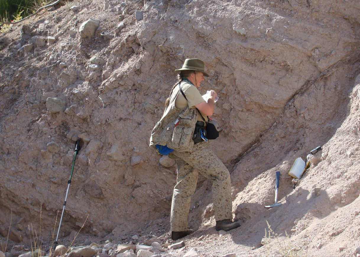
Virginia McLemore collecting geological samples.